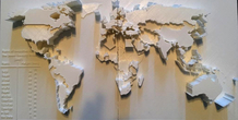
Description
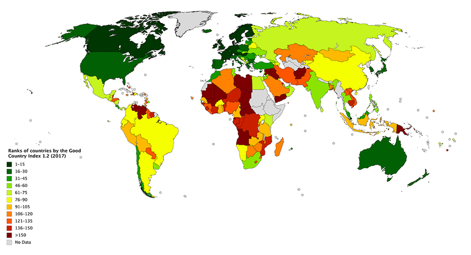
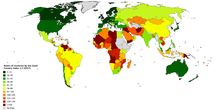
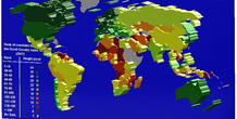
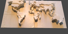
This is a 3d printed world map based on ranks of countries by the Good Country Index 1.2 (2007).
You can find more information on Wikipedia:
https://en.wikipedia.org/wiki/Good_Country_Index
I have changed each color to a specific height. so, the higher the altitude, the better the country.
It is possible to add color to the printed object too. but it is a work of art and I didn't do it.
I have designed the whole world map using "Solidworks". so, I can use this method to show any index, e.g. GDP, population, ... about countries.
More from this category
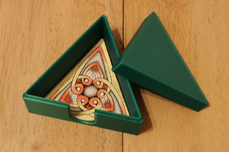
Box for 3z Zentangle tiles
by Daniela mini
I decigned this box for the 3z tiles from zentangle I used my Anycubic I3 Mega Nozzle 0.4 Layer ...
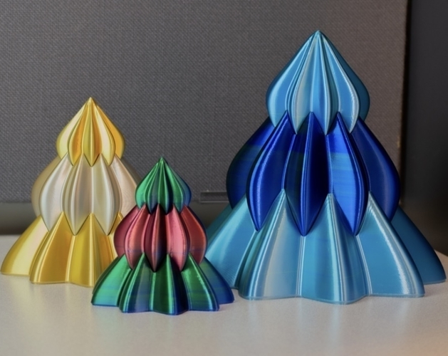
Christmas tree
by Jan Rys
Christmas tree on a decoration for the right Christmas atmosphere
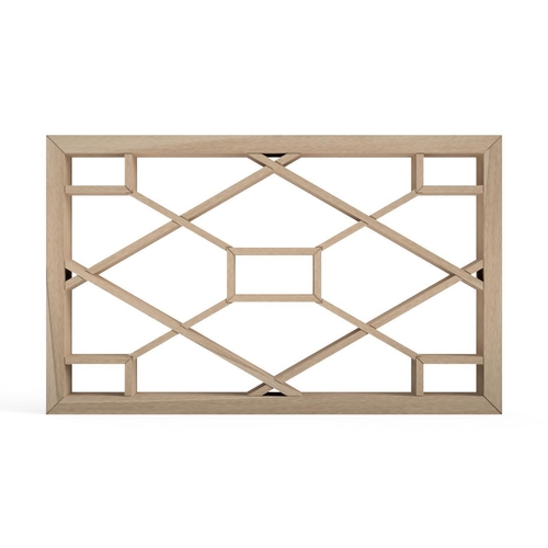
Hitoehishishokko
by Takeuma
Japanese traditional Kumiko pattern. Because Japanese traditional unit Shakkanho 1...
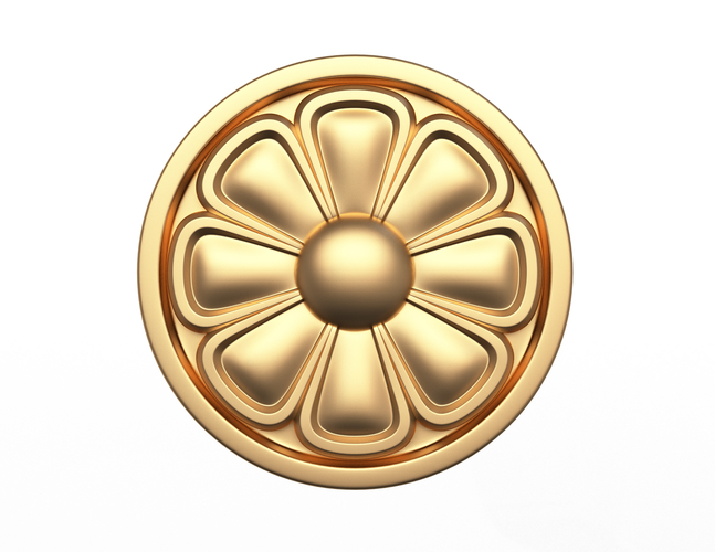
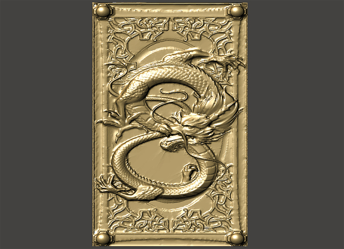
Rosette Carved Decoration CNC 07
Formats: OBJ STL DWG DXFIf you need another 3d formates (3dsMax Cinema4D Blender and Rhino) pleas...
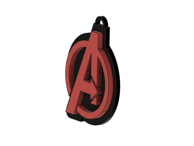
Avengers Keychain
Make a Avengers keychain Print on a 3D printer, spray paint, attach using instant glu...
Comments (3)
Sign in to leave a comment.
my best friend earns over 15k a month doing this and she convinced me to try. the potential with this is endless..., https://Salaryhere.com